Reason for the review
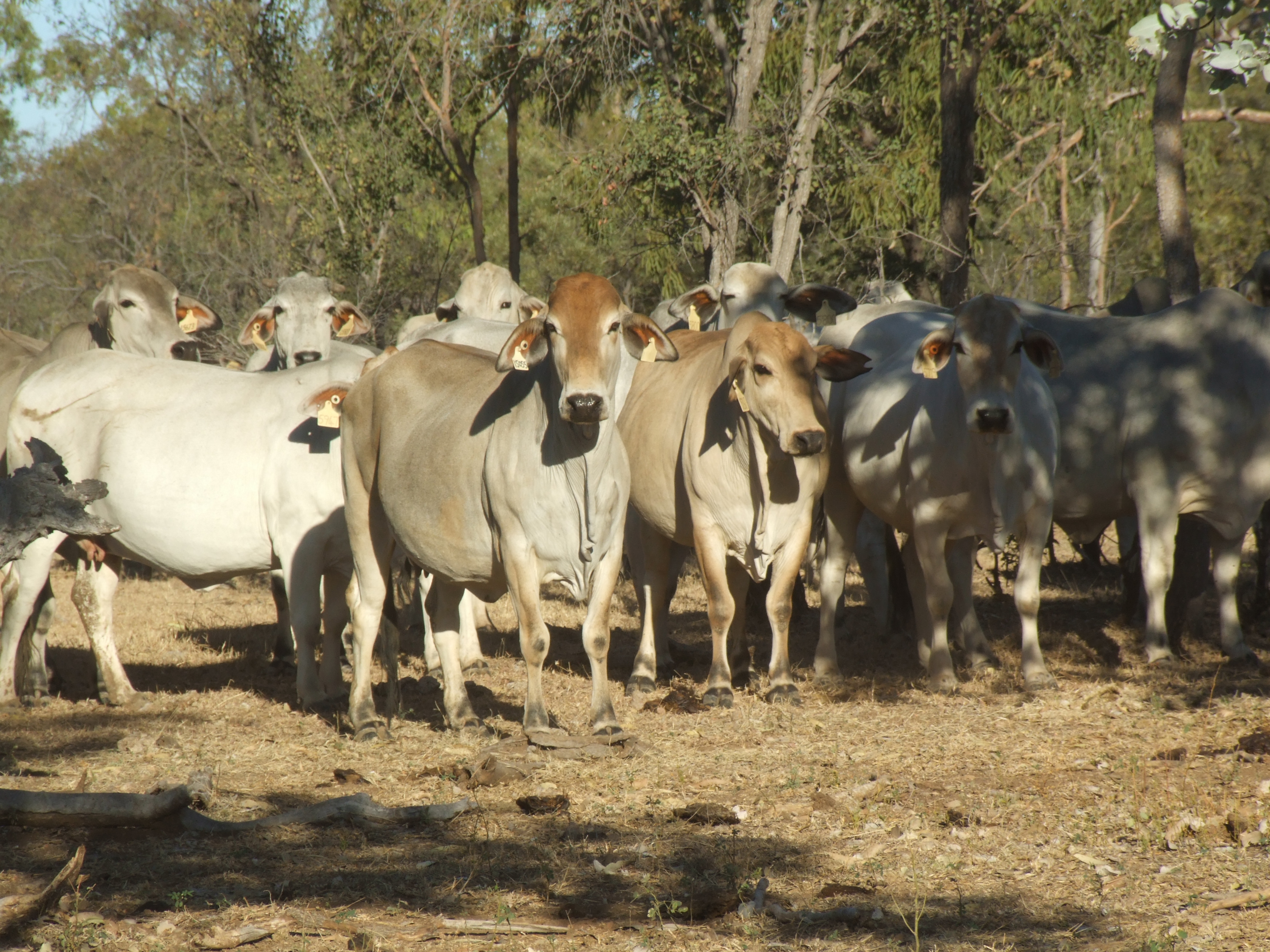
Maintaining pastoral lands for the future requires up-to-date information on the distribution and pastoral potential of the various Rangeland Vegetation Groups (RVGs), their pastoral potential and the potential carrying capacity (PCC) of pastoral leases across WA. Current estimates of PCC and the pastoral potentials that underlie them have become dated and inconsistently determined over time.
The Valuer-General of WA is required to reassess pastoral lease rentals in 2029, and to do so needs updated estimates of lease PCC. The department’s Rangelands Science team is supporting the WA Government to undertake this work as part of a multi-year review.
Previous reviews and estimates
Lease PCC was reassessed for leases in the Kimberley, Pilbara and parts of the Gascoyne by Spektrum Consulting in 2017. For the remainder of the Southern Rangelands, PCC is based on mapping and pastoral potential estimates that were made during rangeland surveys conducted from the 1960s to 2024.
Contemporary modelling approach
This PCC review will, for the first time in WA, use a contemporary modelling approach to map the major RVGs as they currently occur across the pastoral estate, then use extensive consultation to determine updated pastoral potentials for mapped RVGs. Watch the mapping video below to find out more.
Mapped RVGs and updated pastoral potentials will form the basis for reassessing station-level PCC, which will be expressed using the scientifically defensible and nationally applied Animal Equivalent standard.
Interactive map viewer
New vegetation maps are made from field-collected data observations, multiple spatial data sets and 20 years of satellite imagery. Instead of relying on historical averages and regional land system estimates, carrying capacities can be assigned by Rangeland Vegetation Groups mapped across each station.
View the map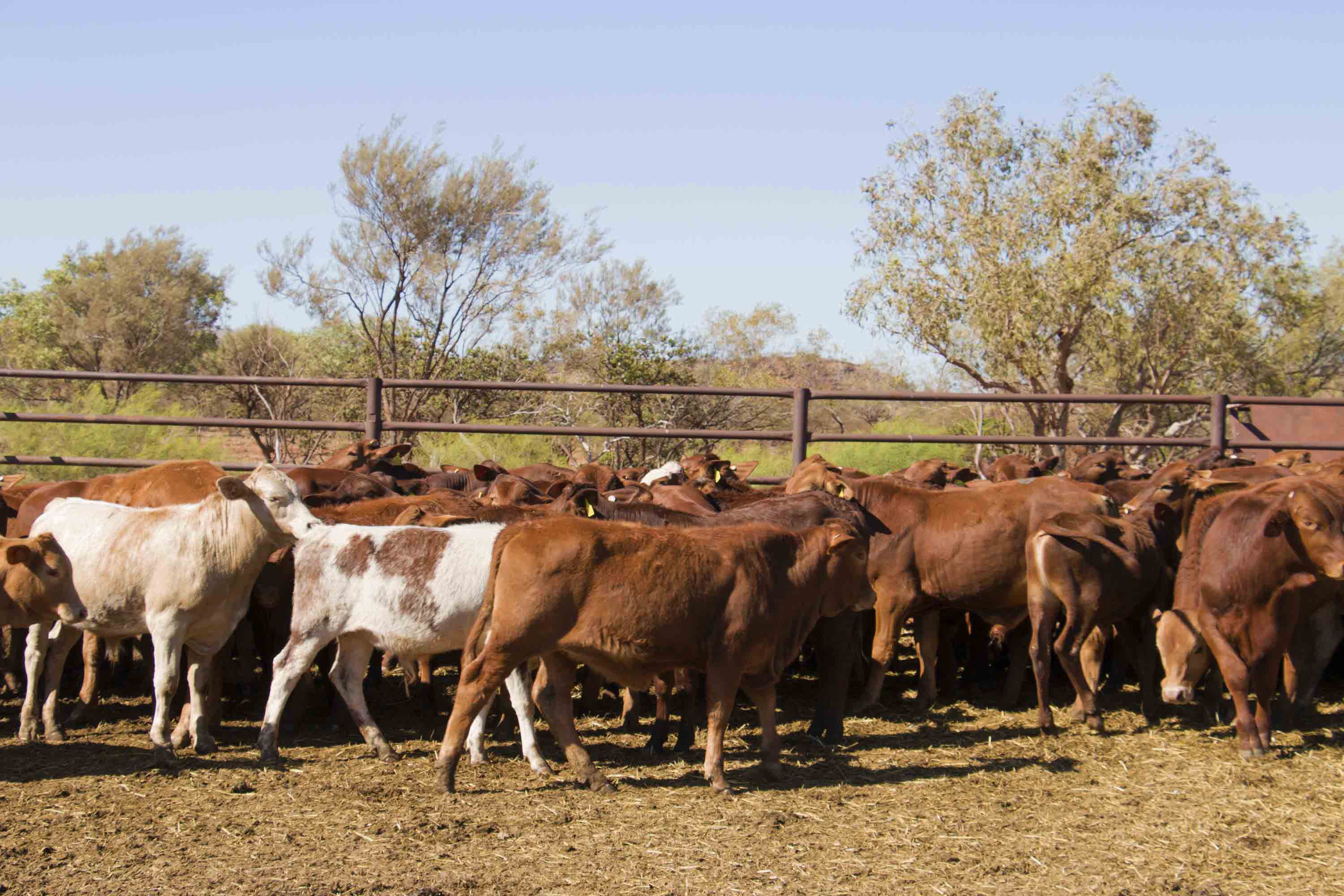
Provide your feedback
Use the online form to provide your feedback or contact our team if you'd like to email or post in your comments.
View feedback formLearn more about the review
Watch the videos below to find out more about the review, including remote sensing, machine learning and advanced mapping techniques. Learn more about the stages of the review and engagement with pastoral lease owners and other stakeholders.
Overview of the review
A modern approach uses the latest advancements in remote sensing and machine learning to deliver updated PCC estimates.
Rangelands vegetation mapping
Advanced mapping techniques are extending field observations and can be used in the revision of carrying capacities of pastoral leases across WA.
Understanding the process
Learn more about the stages of the review and engagement with pastoral lease owners and other stakeholders.
-
Review of Potential Carrying Capacity in the rangelands of WApdf (445 KB)
-
Carrying capacity – definitions for the rangelands of WApdf (316 KB)
-
Recommendations for the revision of animal units and their application in the WA rangelands
-
What are animal equivalents?pdf (416 KB)
Frequently asked questions
Potential Carrying Capacities (PCCs) have been determined for rangeland pasture, vegetation and habitat types since the introduction of Land System Mapping, which began in the 1950s.
A PCC is the estimated average number of livestock that can sustainably graze a given area for a year, if all pastures are in good condition and accessible, and in an average rainfall season. The Potential Carrying Capacity review being undertaken by the department will provide a whole-of-lease estimate.
PCCs are one of several factors considered by the Valuer-General’s Office when setting rent determinations for pastoral leases. For more information, refer to document ‘Carrying capacity – definitions for the Western Australian Rangelands’ via the button below.
We are undertaking this review to provide more up-to-date PCC estimates. This will include modernising our rangelands vegetation mapping by moving from broad land system types to more detailed rangeland vegetation groups. Currently, PCCs are based on Land System Mapping, which has been gradually completed over several decades since the 1950s.
In some areas, PCCs were last estimated in 1991. Any ecological changes in the pasture since the previous survey may no longer be accurate. Changes in pasture type and rainfall patterns since the previous survey will be considered in this review to determine the current PCC.
The review also aligns WA with national standards, using the Animal Equivalent (AE), a modern stock unit, widely used by the cattle industry and recommended by Meat and Livestock Australia, rather than the previously defined Cattle Unit (CU) and Dry Sheep Equivalent (DSE). The Pilbara CU and various DSE definitions will be converted to AE; in the Kimberley, the existing CU was already equivalent to the AE and will be aligned accordingly.
This review will consider existing Potential Carrying Capacity (PCC) values determined by Land System Mapping (where available), along with pasture data obtained from surveys and inspections, new field observations and climate data. These include published pastoral information and the recently produced Rangeland Vegetation Group (RVG) modelling.
Revised PCC values will be determined in consultation with lessees and land managers. This will be achieved through conversations during station visits and regional workshops.
There are 3 agencies playing a role in pastoral lease management in WA.
- The Department of Planning, Lands and Heritage (DPLH) supports the Pastoral Lands Board and Minister for Lands to administer pastoral leases under the Land Administration Act 1997.
- Landgate, through the Valuer-General Office (VG) sets the rent payable for pastoral leases under the Land Administration Act 1997.
- The department applies the science that informs land condition assessments and regulatory decisions, as well as the custodian of Rangeland Vegetation Group (RVG) modelling, which has been generated from data collected across the pastoral estate during the past 60 years. This includes information that has previously been used to estimate PCCs.
- The Office of the Commissioner of Soil and Land Conservation provides oversight of soil and land resource management in WA and advises on sustainable rangeland management practices.
As this review focuses on using newly modelled RVGs, generated from decades of data collected by the department, it’s appropriate that it continues leading such work to reassess PCCs. This approach will ensure the methodology is transparent, scientifically robust and can be communicated to stakeholders. Updated data (in the form of revised PCC estimates) will be provided to the registered lessee, the Valuer–General’s Office and the Pastoral Lands Board for use in their decision-making processes.
Permitted activities such as diversification opportunities (including tourism, carbon projects and renewables) and renewals on pastoral leases are managed by the Department of Planning, Lands and Heritage (DPLH).
Further information on this can be found here: Pastoral land and leases
The department’s Rangelands Science team will undertake on-ground surveys throughout 2026 and 2027 to further inform the data analysis and machine learning already undertaken. At least 50% of pastoral leases are expected to be visited by the end of 2027. Priority will be given to areas that have limited historical data points and have been identified by our team.
Some lessees have been advised by letter that the department will be in contact to arrange a station visit. If your lease has not been identified as requiring a station visit, you have the opportunity to request one. You can do this via the feedback form on this webpage or contact us using the contact details further down this webpage.
During 2026 and 2027, the department intends to visit at least 50% of pastoral stations to ensure improved Rangeland Vegetation Groups (RVGs) mapping and PCC estimates of WA’s pastoral leases.
During station visits, you will be able to speak directly with a Rangeland Officer about the methodology that will be applied. Station managers are encouraged to accompany the department’s team to share their local knowledge and highlight areas that may require reassessment or improved quantification.
We will also be delivering workshops across WA during the PCC review. These sessions will provide an opportunity to review and refine mapped RVGs, contribute to final PCC estimates, examine and revise figures, and discuss conversions between current livestock units and Animal Equivalents (AE), with the aim of achieving an industry supported outcome.
You can participate in this process by:
- Providing feedback on the RVG mapping sent to you by post by completing the department’s online feedback form.
- Participating in or requesting a field validation visit from one of our Rangeland Science Team by emailing us – see contact details further down on this page.
- Participating in regional workshops. These workshops will be advertised in advance, and you will have the opportunity to register closer to the date.
Alternatively, you can email or phone the PCC review team office with any questions; see the contact details further down on this page.
WA is changing from using Cattle Units (CU) and Dry Sheep Equivalents (DSE) to Animal Equivalents (AE) in line with the approach recommended by Meat and Livestock Australia and other northern states in Australia. AE is based on the metabolisable energy needs of a standard animal, meaning it reflects how much pasture livestock consume. This makes carrying capacity estimates more scientifically robust, improves comparability across regions and species, and better aligns with national rangeland management standards as seen in the following report, which can be found on the DPIRD Digital Library, search for ‘Recommendations for the revision of animal units and their application in the WA rangelands’.
See the ‘Other information’ section on this webpage for a guide to ‘What are animal equivalents?’
As this data is not in a finalised stage, we are unable to release the raw form of data. We can provide you with a geo-referenced PDF for your own personal use. If you would like to receive one, please contact the PCC review team; see the contact details further down on this page. Please note, as we are currently working through a significant process to verify data in the field, RVGs may change following subsequent modelling to be completed in late 2026 and beyond.
Contact us
-
Potential Carrying Capacity review team